CIEE & DePaul University’s Geographic Information Systems (GIS) and Sustainable Food Systems program in Santiago, DR
Authored By:
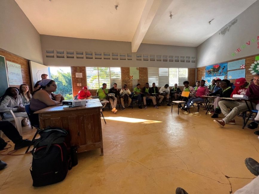
Leading the CIEE custom program for DePaul University in the Dominican Republic was truly a beautiful experience. This is a very impactful program. Not only on its participants, but also within the different communities it touched. Especially the students of CREAR. Who really benefitted and learned a lot about GIS. The students of Depaul took on the task of showing these students on how to use Field Maps, a GIS app, for different types of information one could think of getting from a map and the area identified within it. Depaul students made it easy for these Spanish speaking students to understand the tool that was given to them.
CREAR students were able to learn how to use field maps and its different applications to make points for identifying different types of plants. They could use the app's map and polygons to delimit different farms boundaries and different specifications within those polygons, such as, farm size, crops grown in it, among others.
It was amazing to witness, especially when the students of CREAR in Spanish (to all of this, the information presented was translated into Spanish and the explanations that were in English were translated into Spanish at that moment) were able to explain word for word what a GIS is and how to use Field Maps. It was a poem to the eyes seeing these young minds being able to put what they just had learned into action.
By Isidro Lopez, Program Assistant and Dorka Tejada, Program Coordinator
Related Posts
CIEE Full Circle Experience - Life Update! By Margeaux Stapleton
Hey friends! I thought it was time for a life update. I know many of you watch my stories and reels, but as a friend reminded me the other day... keep reading
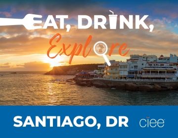
EAT, DRINK, EXPLORE: SANTIAGO DE LOS CABALLEROS
BEST FOOD TO EAT IN SANTIAGO DR Dominican cuisine is infused with African, Spanish, and Taino influences, meaning dishes are loaded with herbs, but not spicy in nature. La bandera... keep reading
Study Abroad Dominican Republic: The Ultimate Guide
Envision this: Colorful streets alive with the sounds of merengue, the aroma of mouthwatering street food wafting through the air, and a warm Caribbean breeze that makes every day feel... keep reading